By Rose Pritchard and Timothy Foster
The Just Earth Observation for Conservation (JEOC) project explores how Earth Observation technologies and data are changing biodiversity conservation and what this means for people living in or near protected areas. We work in four sites around the world (in Guatemala, Kenya, Spain and the UK), as well as engaging with EO data producers and analysts. This blog provides a brief outline of why we believe researching this EO/conservation/social justice nexus to be so important.
Why Earth Observation?
‘Earth Observation’ refers to remote sensing technologies such as satellites and drones that are used to gather information about the Earth. These technologies can monitor the Earth at scales and frequencies which would be impossible based only on fieldwork.
Remote sensing is not new. The first image of the Earth from a satellite was captured back in the 1950s. But one thing which has changed is the amount and quality of remote sensing data. For example, an increasing number of satellites are being launched by both governments and private companies. Much satellite-derived data, such as from the European Space Agency Sentinel missions or NASA’s Landsat programme, is freely available to anyone with an internet connection. Advances in data storage capacities, processing speeds, and analytical techniques such as machine learning and artificial intelligence are rapidly changing how we can interpret and put this imagery to work to solve challenges facing people and nature.
The growth in both the quantity and detail of EO imagery has important implications for how land systems are understood and governed. One example application is to forest and carbon monitoring, with platforms such as Global Forest Watch providing a planetary-scale representation of forest cover and change. However, our work has shown that there had been limited exploration of what increased technological capacities and dependencies could mean for the people living in landscapes governed for conservation. How will lives and livelihoods be impacted if conservation strategies and land management choices are made based on data derived remotely by drones or satellites? Will these data reduce or exacerbate existing social and environmental inequalities? Our JEOC project contributes to addressing these important gaps in knowledge.
Why Conservation?
Global biodiversity is declining at pace, to the extent that some have characterised the Earth as being in a sixth mass extinction. Protected areas are one of the primary tools being used to try and counter this decline. This is reflected in the 2022 Kunming-Montreal Global Biodiversity Framework, which includes a target to expand protected area coverage to 30% of the earth’s surface by 2030.
Protected areas have complicated relationships with the lives and wellbeing of the people living in and around these landscapes. In some regions of the world (particularly settler-colonial contexts), protected areas were created through the displacement of local and Indigenous populations and so reflect broader social injustices. Protected areas can deliver values to local people, such as recreational and aesthetic benefits or employment opportunities. But protected areas can also restrict livelihood options and resource access.
The story of protected areas is thus one of complex trade-offs between different social and ecological values. The ways these trade-offs are navigated – and who ‘wins’ or ‘loses’ from any particular conservation area – is shaped by the politics of conservation and by the relationships of power between the involved peoples and organisations. This makes it essential to scrutinise how EO data and technologies play into these dynamics – who makes use of these data, in what ways do they use the data, and does this lead to a conservation which is more or less equitable?
Why Justice?
Different scholars use different vocabularies to talk about the relationships between technologies, conservation, and human wellbeing. Analytical frames include political ecologies of data and vertical geographies, while some conservation practice-oriented texts use a framing of ‘social responsibility‘ rather than ‘social justice.’
Our project builds on earlier work around data justice and conservation. From an analytical perspective, a key advantage of this framing is the way that it encourages engagement with all the stages in data value chains, from initial production to ultimate impacts. Our approach also draws on the environmental justice literature and on critical theorists of justice such as Nancy Fraser, who emphasised the importance of considering the procedural components of justice (who does and doesn’t have voice and decision-making power) as well as the final distributive outcomes. A justice framing thus draws attention to elements which we believe to be fundamentally important to understanding the social consequences of a world where remote sensing increasingly dominates conservation policy and practice.
The adoption of a justice frame is also a value-driven one. It reflects that our project has a particular positionality: that social equity can and should be pursued alongside ecological objectives in both technological innovation and conservation. This is particularly important if conservation expands in spatial scale to meet the Kunming-Montreal targets.
I have sometimes encountered resistance when using the language of social justice, because the intent is perceived as being solely to critique. This is not the spirit of our project. While critique is important for illuminating injustice or inequality, we also aim to build forward – to think about how these data can be used and governed better to deliver more impactful and equitable conservation. We hope to work with a broad range of actors to achieve these goals and welcome contact from anyone interested in the JEOC project.
To learn more about the project, join our LinkedIn group or visit our website.
Note: This article gives the views of the author/academic featured and does not necessarily represent the views of the Global Development Institute as a whole.
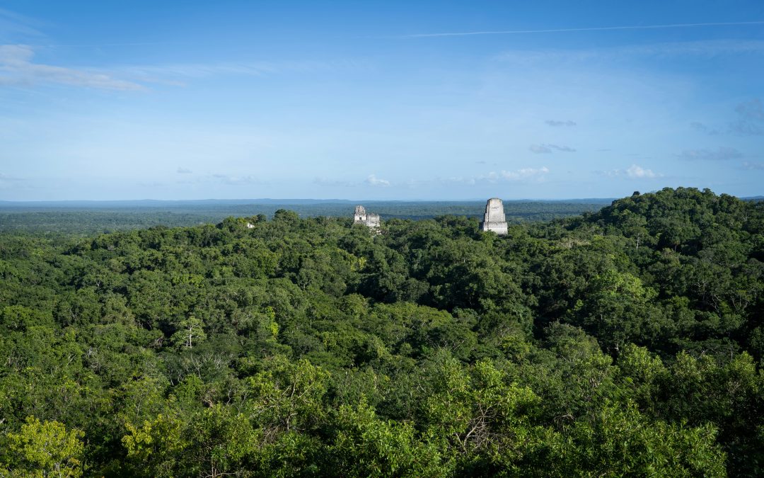
Photo by Paweł Wielądek on Unsplash
Please feel free to use this post under the following Creative Commons license: Attribution-NonCommercial-NoDerivatives 4.0 International (CC BY-NC-ND 4.0). Full information is available here.


